Tagged: Moab
2 photos found
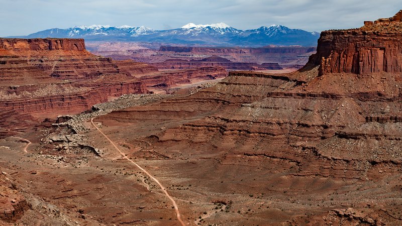
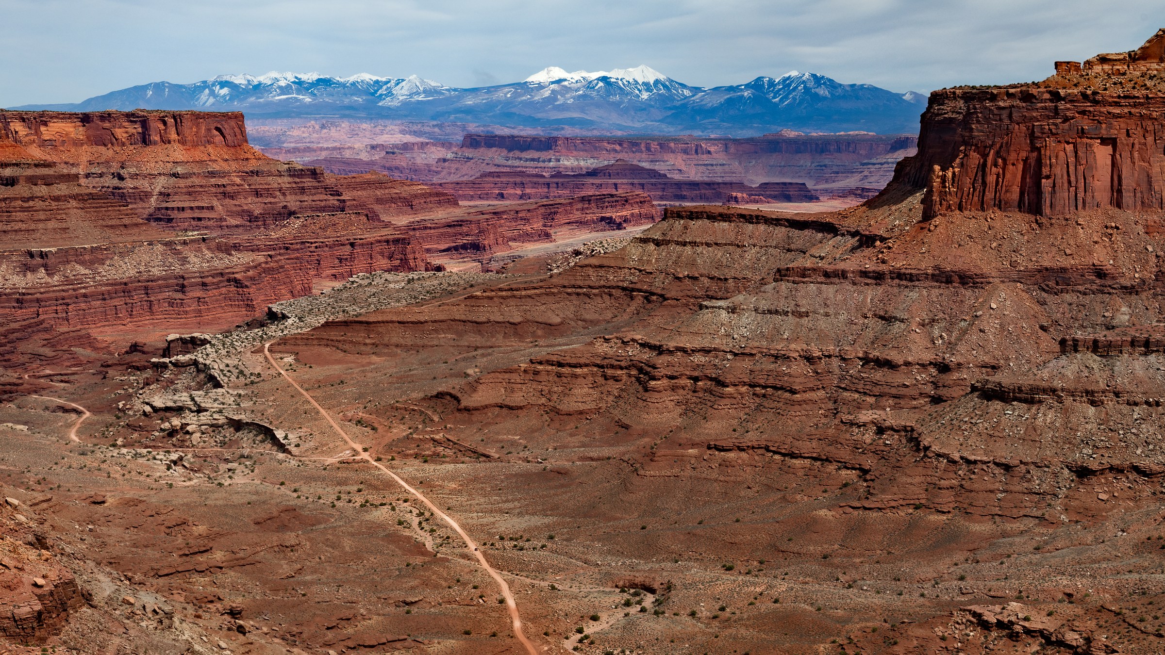
Located in the Island in the Sky district of Canyonlands National Park near Moab, Utah, the Shafer Trail offers one of the most thrilling, white-knuckle, and visually spectacular off-road driving experiences in the American Southwest.
The Shafer Trail is steeped in history. Long before it became a bucket-list destination for off-roaders, it was a steep, rugged footpath used by Native Americans to access resources on the mesa top. In the late 19th and early 20th centuries, it was utilized as a treacherous trail for sheep herders moving their flocks.
The trail as we know it today was carved out in the 1950s by trucks hauling loads of uranium out of the backcountry during the Cold War mining boom. Today, it has been repurposed into an iconic, unpaved backcountry road that attracts recreational drivers seeking a heavy dose of adrenaline and unbeatable red-rock views.
We started this trail from Potash road and drove our way through the Shafer switchbacks, completing it at the overlook in this picture. The photo was captured from the Shafer Canyon Overlook. The full trail map is available on OnX. The overlook offers panoramic views of the canyon, the river below, and the La Sal Mountains in the distance.
See it on a wall
Entryway · 53 × 30 in (136 × 76 cm) · Black frame, white mat
Photograph from April 2025